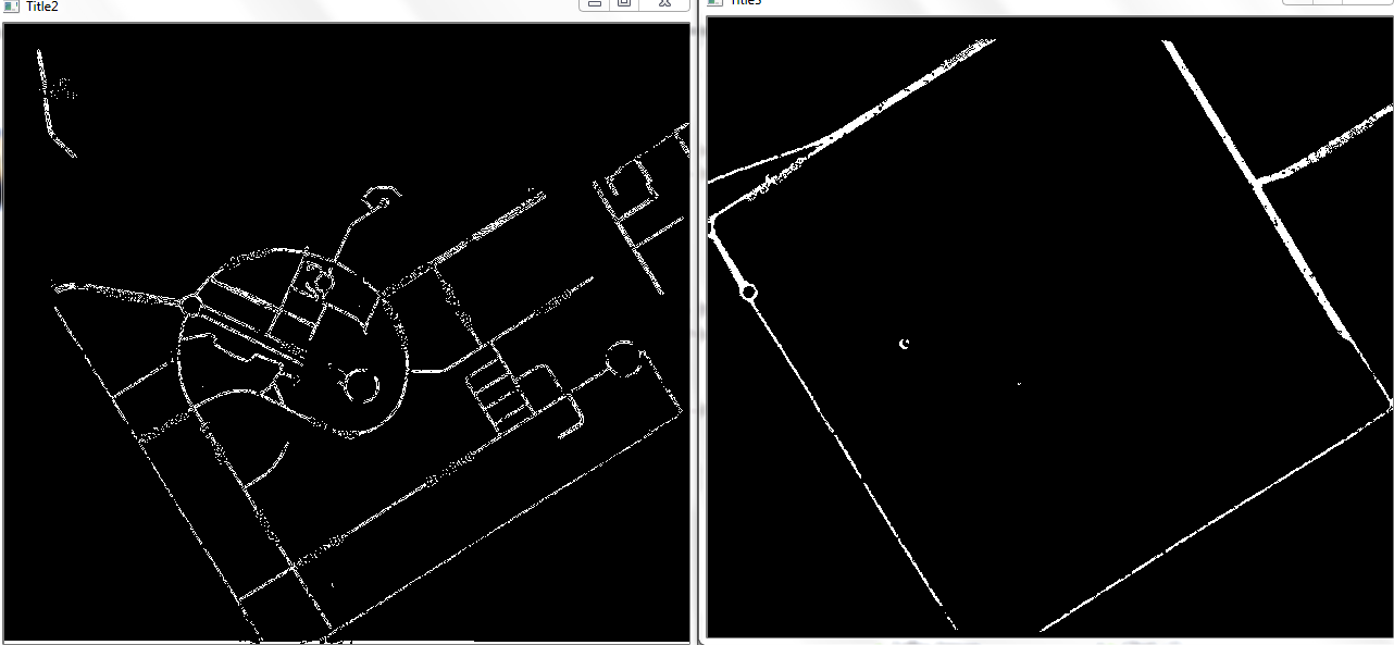
Detect roads and their connections

I am a newbie to opencv (I started using it like yesterday..) the image of the roads is as below. (I took it from google maps and editing in opencv) however the problem is that i have to detect all the points where the roads "pass" each other. Can someone help please?


Hi Aro, are you trying to find out the crossings of two roads?
yes, basically, i want to read the whole map so the starting point for this task is to detect the road crossings and start building up the map from there
any suggestions are welcome