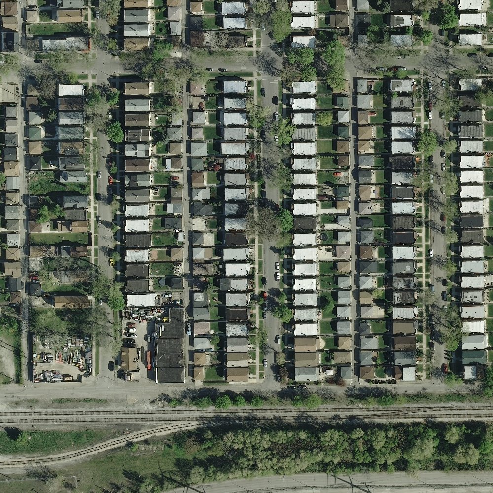
Hello everyone, I am trying to implement a building detector for satellite images using opencv (python). I include an example photo below. What I need to do is to be able to detect all available buildings (or roofs) in a picture and, if possible, calculate their surface. I am a complete novice in OpenCv and have only completed minor projects, so this seems quite difficult to me. My first thought is to use a HaarCascade Classifier, but I encounter a bit of a trouble in understanding the training method. I would be grateful to anyone who gives an opinion on my choice, or an alternative. Also, any helpful tutorials on how to train the classifier or calculating surface would be really appreciated.