I'm new to OpenCV and haven't been able to find any examples or methodologies to solve the following problem. I've been tasked to find out if it would be possible to determine the road widths from images taken by a Dash Camera that is connected to a GPS receiver. Any advice in how to get started in solving the following will be appreciated. I'm also open to suggestion regarding camera's that would allow me to achieve the following. The roads that we are going to survey is primarily asphalt and has road markings for the lanes.
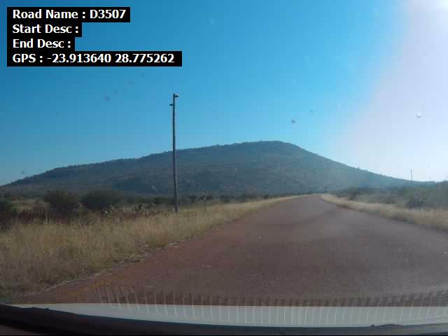
Currently the surveyor that is surveying the visual road condition is using a Logitech C920 Web Camera attached to G-Star IV GPS receiver. We would like to see if we could capture the road width's from the images that is currently being captured every 10 meters. The following is an example of the photographs been take by the following equipment.