Hello,
I am new to image processing, and I'm working on creating topographic maps of 2D image depending on a grayscale of images using python.
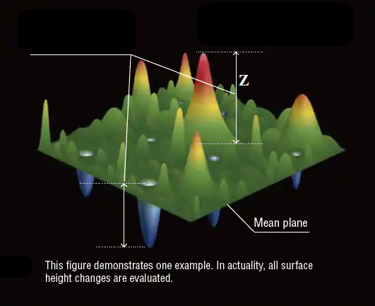
I convert the 2D RGB image to grayscale and each pixel has values from 0 to 255, then I draw the topographic map depending on the value of each pixel in the image which represents the height (Z) as shown in the photo below. but how to get the real height (Z) ?

This forum is disabled, please visit https://forum.opencv.org


