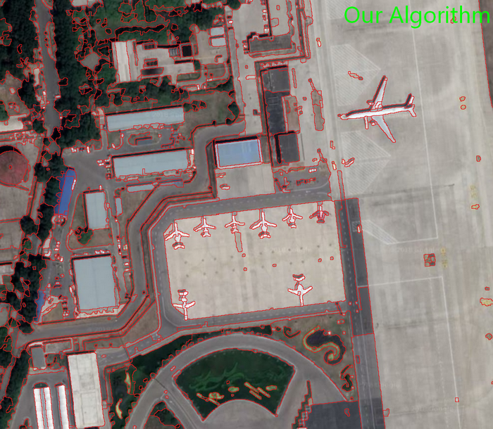
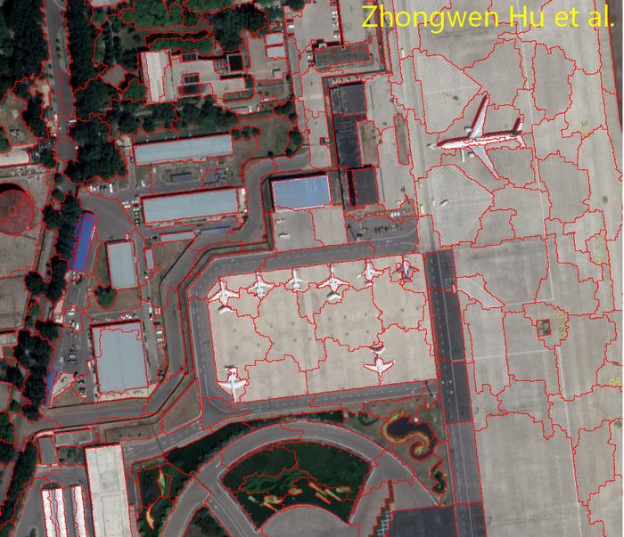
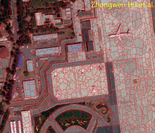
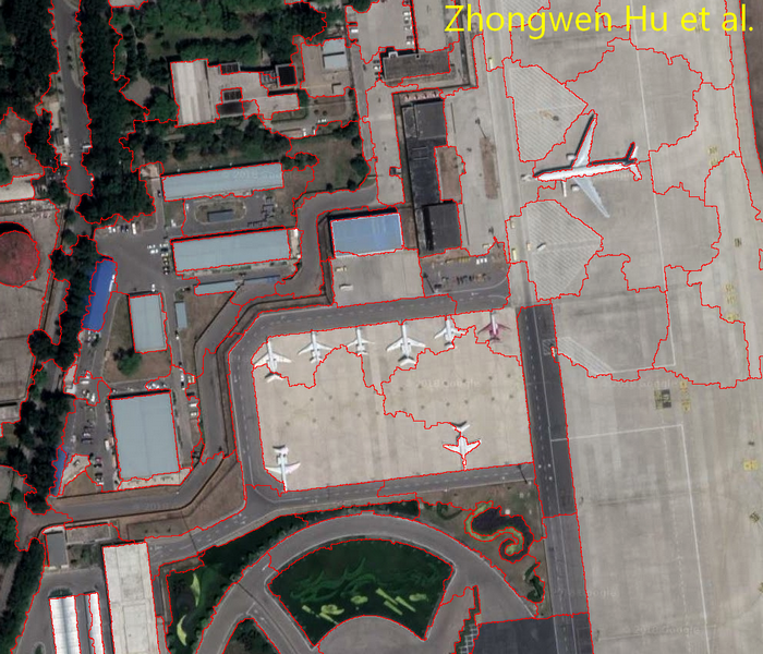
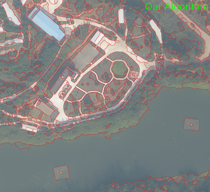
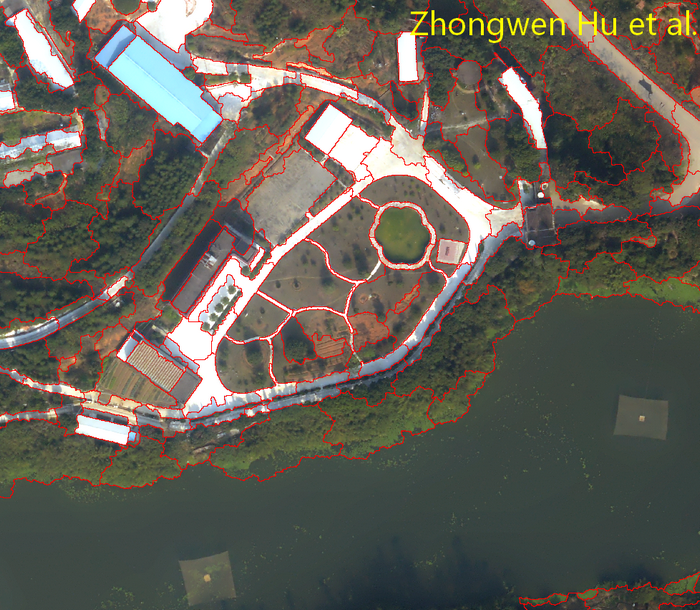
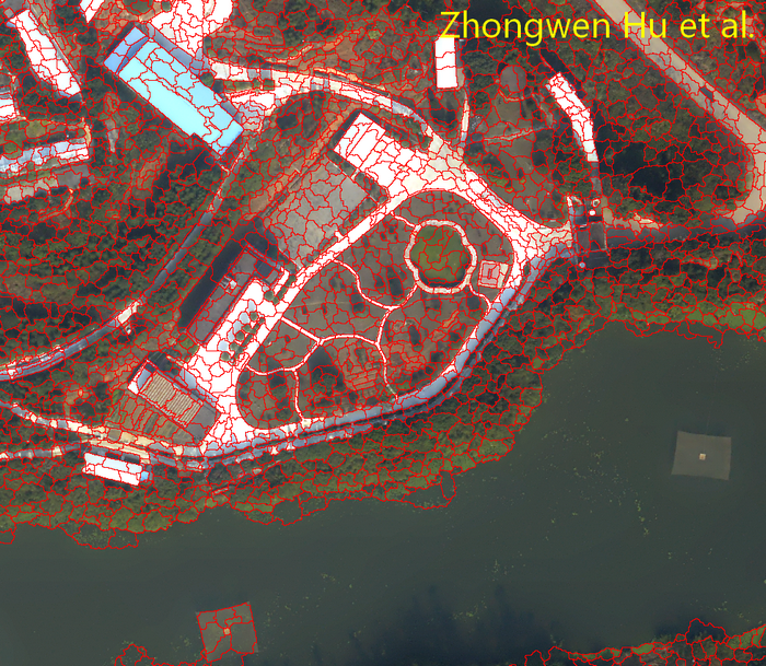
Let's first enjoy the segmentation results.
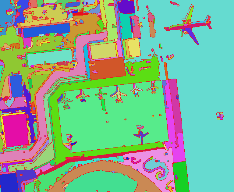
Even though this is single level image segmentation algorithm, we still compare it to a hierarchical algorithm. Because this algorithm outperforms all other single level image segmentation algorithm too much, Watershed, NCut, Region Growing and others, there is no need to put them together for comparison.
As far as my assessment is concerned, the best hierarchical image segmentation algorithm is from Zhongwen Hu et al.
Here is the download address of their executable program.
https://github.com/zwhoo/Scale-Sets-Image-Analysis-Toolkit
And the executable program of our algorithm can be download from here.
https://github.com/tgis-top/tGis/releases
Comparison 1
Comparison 2

Improvement
The improvement is so obvious that it's not necessary to mention it. This must be the first segmentation algorithm that enables our bare eye to recognize the entire image information through the borders of segmented results.
Parameters and Program
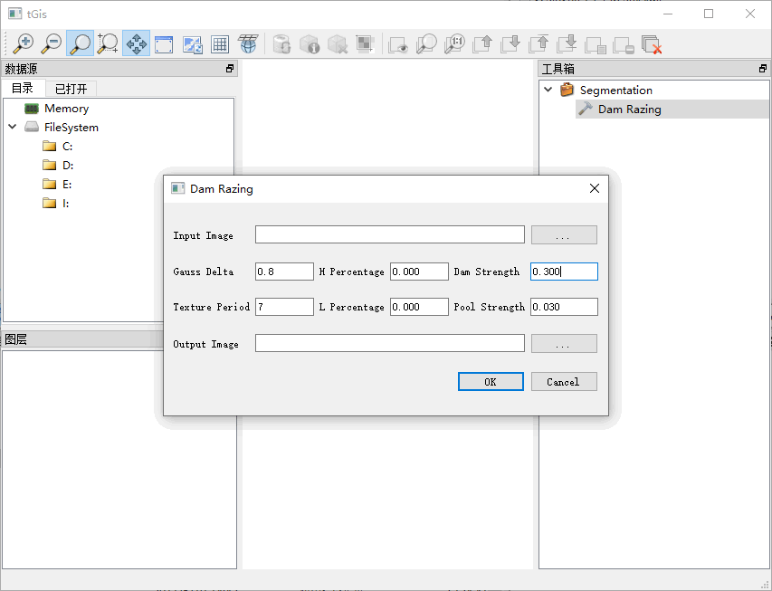
The user interface of the executable program of our algorithm is as follow.

The only parameter need to be adjusted is Texutre Period, its value can be chosen from 5, 7, 9, 11, 13, and 15. The Texutre Period of Comparison 1 is 5, and the Texutre Period of Comparison 2 is 11.
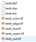
Output of the program is as follows.

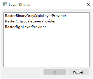
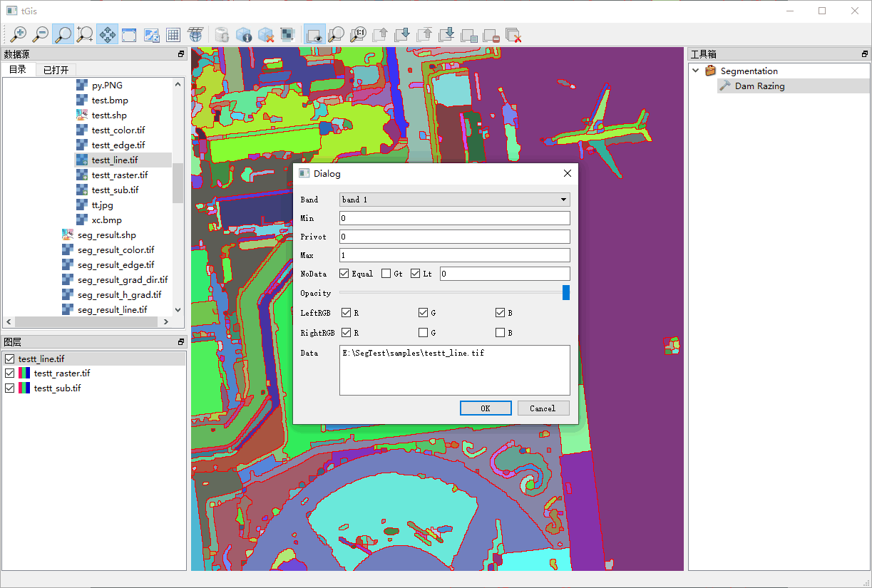
Use RasterBinaryGrayScaleLayerProvider to display the files end with _edge.tif and _line.tif.

And the display parameters are as follows.

Use RaserRgbLayerProvider to display other tif files with the defalut parameters.
Images for the Comparison
The image for Comparison 1 is downloaded from Google Map, The image for Comparison 2 is taken by UAV. Those two images are orthophoto. Images with shallow depth of field can also be used as orthophotos. Our algorithm provides more improvement in processing orthophotos than in processing perspective images.


