What method should use for satellite images? [closed]
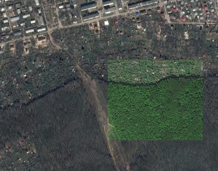
My task is: I have two satellite images, which quite similar, but have got from different angles. And I need to find one piece of map at second image, which bigger. What method should I use? Example images: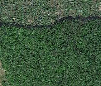
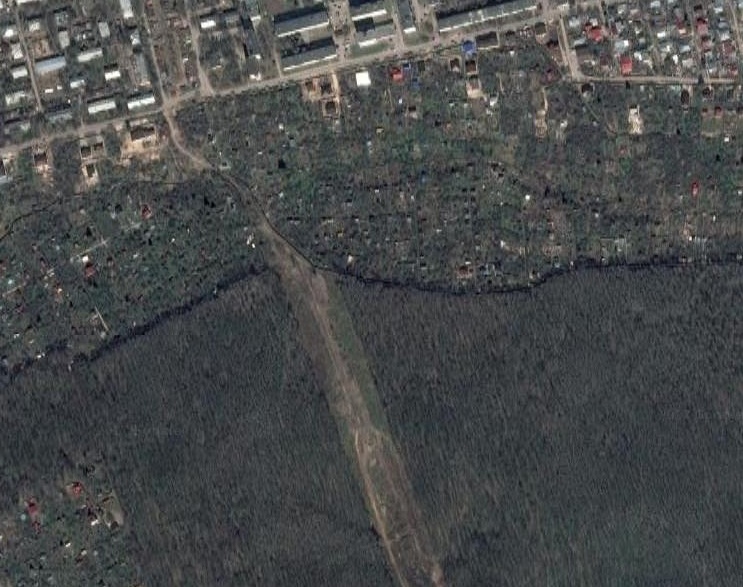
(at http://answers.opencv.org I can show small size pic only. In really resolution will be better)
So, I want find where 1 image at 2 image (coordinates). What can you recommend?
I tried SIFT from this (http://docs.opencv.org/trunk/d7/dff/t...) tutorial and it didn't work at all.
You don't have the metadata that tells you where the images are? Satellite metadata ought to be accurate enough to get you close then use optical flow or something to get the last little bit of error.
GPS always have error in measurements, so what exactly about optical flow I should to read?
HERE is an explanation of optical flow. Those images are pretty similar across the whole area though, it might not work.